
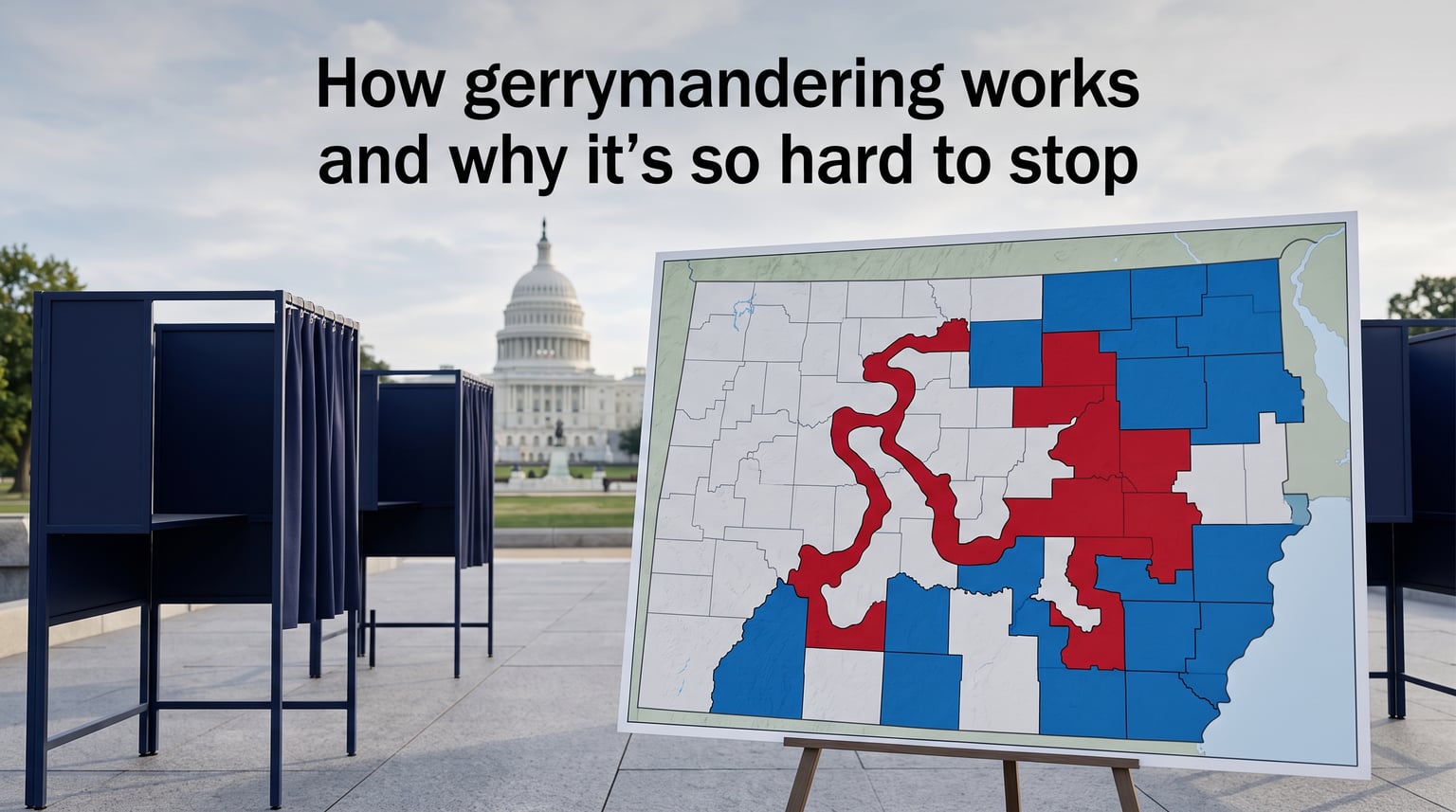
Gerrymandering is the deliberate manipulation of electoral district boundaries to give one political party an unfair advantage over its opponents. The party in control of redistricting packs opposition voters into a few districts or cracks them across many districts, so the opposing party’s votes don’t translate into seats. I’ve spent weeks digging through court rulings, redistricting data, and academic research to explain exactly how gerrymandering works and why it persists in 2026, despite overwhelming public opposition to the practice.
By the end of this guide, you’ll understand the two main techniques (cracking and packing), the legal framework that keeps these maps in place, and the realistic solutions that could change American elections. I’ll also share real examples from North Carolina, Texas, and Maryland so you can see the practice in action, and I’ll explain why district shapes alone don’t tell the full story.
Table of Contents
What Is Gerrymandering?
Gerrymandering is the manipulation of electoral district boundaries to favor one political party or group over another. The name blends “Gerry” (from Elbridge Gerry, a Massachusetts governor who signed a partisan map in 1812) with “salamander,” since a critic said the new district looked like a salamander. Every ten years, after the U.S. Census, states redraw congressional and legislative maps to reflect population shifts, and the party controlling that process can engineer an election outcome before a single vote is cast.
Redistricting and gerrymandering are not the same thing. Redistricting is the neutral act of redrawing district boundaries to keep populations roughly equal. Gerrymandering is what happens when mapmakers exploit that process to produce a political advantage rather than a fair count.
Two flavors matter most. Partisan gerrymandering favors a political party. Racial gerrymandering dilutes the votes of minority communities and is constrained by the Voting Rights Act of 1965. Both rely on the same two techniques: cracking and packing.
Why It Matters in 2026
After the 2020 Census, maps were redrawn across the country and partisan control of legislatures shaped the results in ways that will influence elections for the next decade. In October 2026, states like Texas and California are debating new mid-decade redistricting efforts that could shift the balance of the U.S. House. Understanding the mechanics is no longer academic; it’s essential for following the news.
A Brief History of Gerrymandering
The story starts in 1812, when Massachusetts Governor Elbridge Gerry signed a map that packed Federalist voters into a single district shaped like a winding salamander. The Boston Gazette coined “gerrymander” to mock the maneuver, and the term has stuck for more than 200 years.
The practice actually predates the Constitution. Patrick Henry tried to gerrymander Virginia’s 1788 congressional districts to keep James Madison out of the House. Gerrymandering has appeared in nearly every decade since, on both sides of the aisle, in every region of the country.
The Supreme Court has weighed in at key moments. In Wesberry v. Sanders (1964), the Court ruled that congressional districts within a state must contain nearly equal populations. In Davis v. Bandemer (1986), the Court held that partisan gerrymandering claims could be justiciable, even if no clear standard was articulated. By Rucho v. Common Cause (2019), the Court ruled 5-4 that federal courts cannot decide partisan gerrymandering cases, leaving the issue to states, legislatures, and ballot boxes.
State constitutions have stepped in where the federal courts stepped out. The Pennsylvania, Michigan, and North Carolina state supreme courts have struck down maps under state-level free elections clauses. These state-level decisions now carry most of the legal weight on gerrymandering.
The Math Behind Gerrymandering
Every gerrymander relies on a basic math principle: votes beyond what a candidate needs to win are “wasted.” If a candidate wins 60% of a district, the 10 percentage points above 50% don’t help them win another seat. Those excess votes are wasted.
Mapmakers exploit this arithmetic. They draw lines to maximize wasted votes for the opposition party and minimize wasted votes for their own party. A simple formula captures this idea. Sum up the difference between the two parties’ wasted votes across all districts, divide by the total votes, and you get what’s called the “efficiency gap.”
Wisconsin’s 2012 state assembly map produced an efficiency gap of roughly 13% in favor of Republicans, even though Democrats won about 48% of the statewide vote. That gap translated into 60 Republican seats against just 39 Democratic seats. The case, Gill v. Whitford, made it to the Supreme Court before being dismissed as moot in 2018 after the legislature redrew the map.
Other metrics help detect gerrymandering. Partisan symmetry asks whether a map would deliver the same seat share if the two parties simply swapped their vote totals. The mean-median difference compares the average vote share across districts to the median, exposing systematic advantages for one side. These tools give mathematicians and lawyers a quantitative language for a problem that used to be argued only in shape-based terms.
How Gerrymandering Works: The Two Main Techniques
Gerrymandering relies on two core techniques that work like a one-two punch. Cracking spreads the opposition so their majority never reaches critical mass. Packing squeezes them into a few districts so their votes are wasted everywhere else.
Cracking Voting Districts Explained
Cracking splits a group of opposition voters across multiple districts so they can never form a majority in any single one. Imagine a city with 60% opposition voters and 40% ruling party voters. Under fair lines, the city could form a single district where the opposition wins comfortably.
A mapmaker drawing for the ruling party could split the city into four districts, each containing 15% opposition voters and 85% ruling party voters. Now the opposition wins zero seats, even though they make up 60% of the city’s population. This is cracking, and it shows how a numerical majority of voters can be reduced to zero representation simply by moving lines.
Here’s how cracking works step by step:
- Step 1. Identify communities where the opposition has a high concentration of voters.
- Step 2. Draw district lines that slice through those communities instead of respecting their natural boundaries.
- Step 3. Combine fragments with larger ruling-party neighborhoods until each district has a ruling-party majority.
- Step 4. Ensure district shapes remain “compact” or contiguous enough to survive a court challenge.
The visual result is bizarrely drawn districts that follow highways, rivers, or county lines for no demographic reason other than to divide opposition strongholds. Cracking is by far the most common technique used in U.S. congressional maps.
Packing Voting Districts Explained
Packing is the opposite strategy. Opposition voters get squeezed into as few districts as possible. The ruling party “wastes” those districts, conceding them to the opposition, but locks in wins everywhere else.
Using the same 60% opposition city example, a packer would draw one ultra-opposition district where those voters win 90% of the vote, then carve the rest of the city into ruling-party districts where the opposition is a small minority. The opposition wins one seat but loses five districts where they would otherwise have been competitive.
Here’s how packing works step by step:
- Step 1. Identify communities with overwhelming opposition support.
- Step 2. Draw a district that captures as many of those voters as possible.
- Step 3. Allow that district to be a “safe” win for the opposition.
- Step 4. Surround the packed district with ruling-party districts that use up the remaining geography.
Mathematically, packing and cracking are two sides of the same coin. They both rely on the “wasted vote” principle, where only votes that contribute to a winning margin matter for representation. Whether you crack or pack depends on whether you want to neutralize the opposition or concentrate them.

Why District Shapes Can Be Misleading
Most people picture gerrymandering as weird-shaped districts that look like dragons or commas. Reality is more subtle. A district’s shape tells you very little about whether it’s actually been gerrymandered.
Geographic features like rivers, mountain ranges, and coastlines often force districts into irregular shapes without any partisan intent. Rural districts covering long stretches of farmland will look elongated. Urban districts following freeway loops may look strange but reflect natural boundaries.
What’s more telling is the underlying political geography. Mapmakers can draw two districts with identical shapes and produce wildly different electoral outcomes simply by shifting the line between them. This is why courts have increasingly focused on quantitative metrics like efficiency gaps, partisan symmetry, and mean-median differences rather than the shape of a district.
Even worse, the public fixation on shape has historically allowed mapmakers to hide their work. A “compact” district can still be a gerrymander if it pulls voters across natural political boundaries. The Brennan Center put it bluntly: the most efficient gerrymander is the one nobody notices.
Real-World Examples of Gerrymandering
I pulled three concrete cases that illustrate both techniques in different regions. These aren’t academic hypotheticals. They’re maps in force today, and the courts have weighed in on most of them.
North Carolina: A Congressional Gerrymandering Case Study
In 2023, the North Carolina legislature (then with a Republican supermajority) drew new congressional maps after a state court struck down the previous gerrymander. The new map produced 10 Republican and 4 Democratic seats from a state where statewide vote totals split roughly 50-50. Public data from the 2024 election showed Republicans winning over 70% of seats with under 55% of the two-party vote. Critics called it cracking on a statewide scale.
The case went to the U.S. Supreme Court as Moore v. Harper (2023), where justices rejected the “independent legislature” theory that would have given mapmakers near-total control, but they left the underlying map intact. State courts have since continued to police North Carolina’s lines under the state constitution.
Texas: Mid-Decade Redistricting Push
In 2026, Texas Republicans are leading a national mid-decade redistricting push to add up to five new Republican-leaning congressional seats ahead of the midterm elections. Texas last redrew its maps in 2021 following the 2020 Census, but a Republican majority that grew in 2024 is now weighing new lines. This would be the largest mid-decade redistricting effort since 2003.
If approved, the move could net up to five additional Republican seats nationally as other states (California, New York, Maryland) draw counter-maps. The mid-decade push shows that maps drawn just four years ago can be redrawn whenever the legislative supermajority wants more seats.
Maryland: Democratic Gerrymandering
Maryland provides a counter-example of how the practice isn’t limited to one party. After the 2010 Census, Democratic mapmakers concentrated Republican voters into a single western Maryland district while diluting GOP voters elsewhere. The result was a 7-1 Democratic congressional delegation in a state that is roughly 55% Democratic statewide. The case went all the way to the Supreme Court in Benisek v. Lamone (2019), where justices sent it back to lower courts without ruling on the merits.
Both parties gerrymander where they can. Pretending otherwise doesn’t help voters understand the system, and it actually weakens arguments for reform because it allows each side to dismiss the issue as a partisan complaint.
Pennsylvania: A Successful Court Challenge
Pennsylvania offers a counter-case where reform actually worked. In 2018, the state supreme court struck down the existing congressional map as an unconstitutional partisan gerrymander under the state constitution. The court appointed a special master to redraw the lines, and Pennsylvania saw competitive congressional elections that fall. The case, League of Women Voters v. Commonwealth, showed that state courts willing to act under state constitutional provisions can make a real difference.
Why Gerrymandering Is So Hard to Stop
Americans overwhelmingly oppose gerrymandering. Polling from the Pew Research Center shows more than 75% of voters support independent redistricting commissions. Yet the practice persists. Three structural reasons explain why fixing it is so difficult.
1. Politicians Draw the Lines That Elect Them
The most direct reason is also the simplest. Legislators control the redistricting process in most states, and they have no incentive to draw maps that put their own seats at risk. Incumbent protection is a feature, not a bug, of the current system. A reform bill introduced by a gerrymandering majority is unlikely to reach the floor.
This self-dealing creates a chicken-and-egg problem. The only people with the power to change the rules are the people who benefit from keeping them. That asymmetry is the central obstacle to reform through normal legislative channels.
2. Courts Won’t Step In at the Federal Level
Federal courts have largely closed the door on partisan gerrymandering claims. In Rucho v. Common Cause (2019), the Supreme Court held that partisan gerrymandering presents a “political question” beyond the reach of federal courts. Chief Justice Roberts wrote that the courts should not become the “central pianoplayer” of American democracy.
State courts have picked up some of the slack in states with independent judiciaries and aggressive state constitutions. Pennsylvania, Michigan, and North Carolina state courts have struck down partisan gerrymanders. But federal remedies remain off the table, and many states lack a state constitutional vehicle for challenge.
3. Single-Member Districts Are the Root Cause
Every U.S. congressional and most state legislative districts elect one representative per district. This “single-member district” system is the structural feature that makes gerrymandering possible at all.
In single-member districts, the prize is a single seat. Mapmakers can predict with high accuracy which party wins each district based on partisan composition. Under a proportional system, where multiple seats are filled from a single region based on vote share, district lines become far less powerful. A party’s 40% support might yield 40% of seats instead of zero.
This is why gerrymandering is hard to stop. Even with perfect independent commissions, single-member districts will continue to invite partisan mapmaking. The reform that solves the problem most completely is also the reform that requires the most institutional change.
Solutions to Gerrymandering
No single reform eliminates gerrymandering entirely, but several approaches have shown real results in different states. Some work within the current system; others would require constitutional change.
Independent Redistricting Commissions
Independent commissions take map-drawing authority out of the hands of legislators and give it to a body of citizens, retired judges, and technical experts. California, Michigan, Colorado, Arizona, and several other states have adopted independent commissions through ballot initiatives or legislation.
California’s Citizens Redistricting Commission, in place since 2010, has produced maps that more closely match statewide vote shares. Michigan’s Independent Citizens Redistricting Commission, created by voters in 2018, similarly produced fairer congressional maps after 2020. The Princeton Gerrymandering Project grades U.S. states on map fairness; commission states consistently score better than legislature-controlled states.
The evidence so far suggests independent commissions do reduce the most extreme partisan gerrymanders, but they don’t eliminate the underlying incentive to favor one party. Commissions can still produce biased maps if their members are chosen by partisan appointees, which is why the selection process matters as much as the existence of the commission itself.
Ballot Initiatives and State Constitutional Amendments
Where legislators won’t act, voters sometimes can. In Michigan, Missouri, Ohio, and other states, citizen-led ballot initiatives have imposed commission-based reforms over legislative opposition. This path requires organization, funding, and a state constitution that allows direct democracy on the question.
Florida’s 2010 “Fair Districts” amendments banned partisan gerrymandering in congressional and state legislative maps. The amendments passed with more than 63% support. Subsequent Florida maps have been more competitive, though courts continue to police the lines.
Proportional Representation
The most ambitious reform is proportional representation, which replaces single-member districts with multi-member districts where seats are allocated by vote share. Under such a system, a party with 30% of the vote statewide would win roughly 30% of seats.
Proportional representation eliminates the “packing and cracking” game almost entirely. Lines still need to be drawn, but the stakes are much smaller because no single map can unilaterally shift the legislative balance. Several U.S. cities, including Cambridge, Massachusetts, and many European democracies, use forms of proportional representation successfully.
The catch: switching to multi-member districts would require state or federal constitutional changes. It’s the hardest reform to enact but also the most durable. Some reformers have proposed “final-five” voting or ranked-choice methods as a transitional step toward proportional outcomes without a constitutional amendment.
Impact on Democracy
Research consistently shows gerrymandered maps produce less competitive elections, lower voter turnout, and reduced policy responsiveness. A 2022 analysis by political scientists at FiveThirtyEight found that competitive districts saw voter turnout roughly 4-6 percentage points higher than safe districts.
When politicians choose their voters, election outcomes no longer track public opinion. A majority of Americans consistently tell pollsters they want action on inflation, healthcare costs, and election reform, but gerrymandered legislatures can ignore those views indefinitely because they don’t have to.
Racial gerrymandering adds another layer of harm. When mapmakers crack communities of color across districts, those voters see their preferred candidates lose repeatedly despite sizable populations. Packing produces the inverse: concentration with no political power beyond one office. Both forms dilute the Voting Rights Act’s promise of effective minority representation.
The Brennan Center has documented how gerrymandering depresses representation for Black, Latino, and Asian American voters. Combined with voter ID laws, polling place closures, and other restrictions, gerrymandering is part of a broader infrastructure that reduces the political power of historically marginalized communities.
Frequently Asked Questions
Is gerrymandering legal?
Gerrymandering exists in a legal gray area. Partisan gerrymandering is currently permitted under federal law after the Supreme Court’s 2019 ruling in Rucho v. Common Cause. Racial gerrymandering is illegal under the Voting Rights Act and the Equal Protection Clause, but proving a racial intent claim in court remains difficult.
What is the difference between redistricting and gerrymandering?
Redistricting is the neutral process of redrawing electoral district boundaries after each Census to reflect population changes. Gerrymandering is the manipulation of those lines to favor one political party. All gerrymandering involves redistricting, but most redistricting is not gerrymandering.
What are two solutions for gerrymandering?
The two most common solutions are independent redistricting commissions (groups of non-politicians who draw maps) and ballot initiatives that impose reform at the state level. More ambitious proposals include switching to proportional representation, where seats are awarded by statewide vote share rather than single-member districts.
Why is gerrymandering a problem?
Gerrymandering lets politicians choose their voters rather than voters choosing their representatives. It produces uncompetitive elections, depresses voter turnout, reduces policy responsiveness, and dilutes the political power of communities of color. Research consistently shows gerrymandered maps do not reflect the actual partisan balance of a state.
Can gerrymandering backfire?
Yes. Gerrymandering can backfire when political winds shift unexpectedly. In 2018, Democratic candidates won majorities of the Pennsylvania state house and several other chambers despite maps designed to favor Republicans. Packed districts can also become competitive if demographics change faster than the map drew them to be safe.
What is the best example of gerrymandering?
Maryland’s 3rd Congressional District is one of the most famous examples, drawn in 2011 to pack Republican voters into a single western district. North Carolina’s congressional maps, redrawn multiple times since 2010, are also widely cited as extreme partisan gerrymanders that have survived multiple court challenges.
How does gerrymandering actually work step by step?
Mapmakers use two core techniques. Cracking splits the opposition across multiple districts so they never form a majority in any one. Packing concentrates opposition voters into as few districts as possible, conceding those seats but winning everywhere else. Both rely on drawing lines after each Census to lock in a partisan advantage for a decade.
Conclusion
Understanding how gerrymandering works is the first step toward fixing it. The two core techniques (cracking and packing) produce unfair maps that politicians use to choose their voters. Courts have largely stepped back, leaving states and citizens to push reforms through independent commissions, ballot initiatives, or proportional representation.
In 2026, the issue is more urgent than ever. Mid-decade redistricting efforts in Texas and elsewhere could reshape the U.S. House ahead of the midterms. The math of gerrymandering is well understood, and the legal pathways to reform exist, but they require sustained citizen pressure to overcome the political incentives that keep the system locked in place.
If you want to take action, look up whether your state has an independent commission, support ballot initiatives in states that don’t, and ask your representatives where they stand on fair maps. The principle of “one person, one vote” means little when mapmakers decide who counts. Whether gerrymandering continues to warp American democracy depends on whether citizens and reformers can out-organize the politicians who currently benefit from the system.